Description
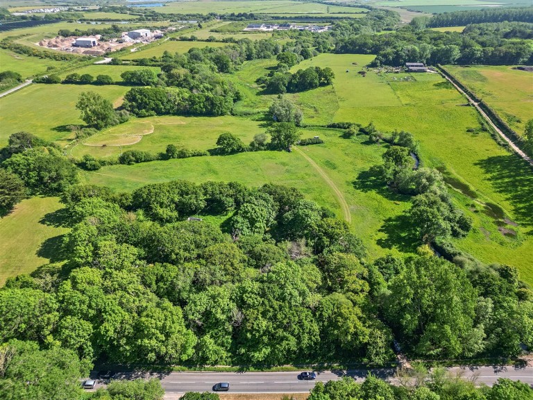
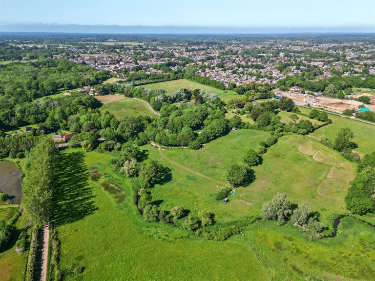
An exceptional chance to acquire a 9.49-acre parcel of pasture and woodland, featuring a partially constructed stable block and single banked fishing rights along the river Avon.
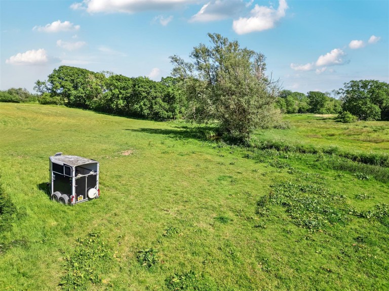
The Land - The property encompasses 9.45 acres, featuring a combination of pasture and woodland.
Most of the land is classified as grade 4 according to agricultural land classification, while a section along the eastern boundary is classified as grade 2. The soils are loamy and fertile, making them ideal for livestock or equestrian grazing.
This land is equipped with a mains water connection and is currently free from stewardship, providing a new buyer the opportunity to explore potential sustainable farming incentives.
Additionally, there is a partially constructed 13.79m x 5.21m, brick stable block along with adequately sized paddocks that have been utilised for equestrian grazing.
The land enjoys the advantage of the River Avon along its western boundary, and it is sold with all single bank fishing rights and sporting rights included.
Situation - Eden is situated merely 1.8 miles from the delightful Georgian town of Lymington. This town, positioned on the Solent at the southern boundary of the New Forest National Park, is well-regarded for its two private marinas that link to the cobbled streets of its historic centre. The High Street features an array of boutique shops, gastro pubs, and exceptional restaurants.
Lymington is served by a branch line railway that connects to Brockenhurst in approximately 7 minutes, as well as the Lymington Ferry, which crosses the Solent to Yarmouth on the Isle of Wight. Junction 1 of the M27, which links the coast to the M3, is located 12 miles to the north.
The National Park offers extensive opportunities for walking, cycling, and horseback riding, in addition to a diverse range of sporting activities on the Solent.
Designations - The land is located within the New Forest National Character Area.
Part of the northern land falls within an Impact Risk Zone designated for Sites of Special Scientific Interest.
The land falls within Avon Water Nitrate Vulnerable Zone.
Part of the land on the western boundary falls within Floodzone 2 and 3.
Access, Easements And Right Of Way - A neighbouring landowner possesses a private right of way across the land for pedestrian access.
A public footbath traverses the property from the northern boundary to the eastern boundary.
Access to the land is available from Milford Road, with official ownership commencing at the gateway. The roadside verge leading up to the gate is owned by Hampshire County Council.
Services - Mains water connection.
Local Authority - Hampshire County Council - 0300 555 1375
www.hants.gov.uk
Tenure And Possession - Freehold with vacant possession on completion.